For directions to our waters, please go to the bottom of this page.
River Wye

We have over one kilometre of coarse fishing on both banks from a few metres downstream of Wye Bridge to the point of confluence with the river Trothy. This stretch, known locally as “The Dukes Water”, is prime salmon fishing, and our coarse fishing is not permitted during the salmon season. Fishing here is primarily for barbel, chub and grayling. In times of spate, some good fishing can be had in the big eddy below the old stone viaduct.
Barbel and chub are caught along all sections of the river Wye. In the summer, there used to be thick beds of ranunculus weed, water buttercup and this made bottom fishing extremely difficult, so look for clearer swims with a greater flow, specially when the water is low. The weed was almost entirely killed off during the heavy algae blooms of 2000 and 2021, but luckily, in the two years following, it had been making a slow but steady recovery almost everywhere. Grayling can be caught in some of the faster medium pace swims. Fishing for trout is not allowed, and any trout caught must be returned immediately. Pike can be caught in suitable swims.
Please note that we are not allowed to fish this stretch during the salmon season.
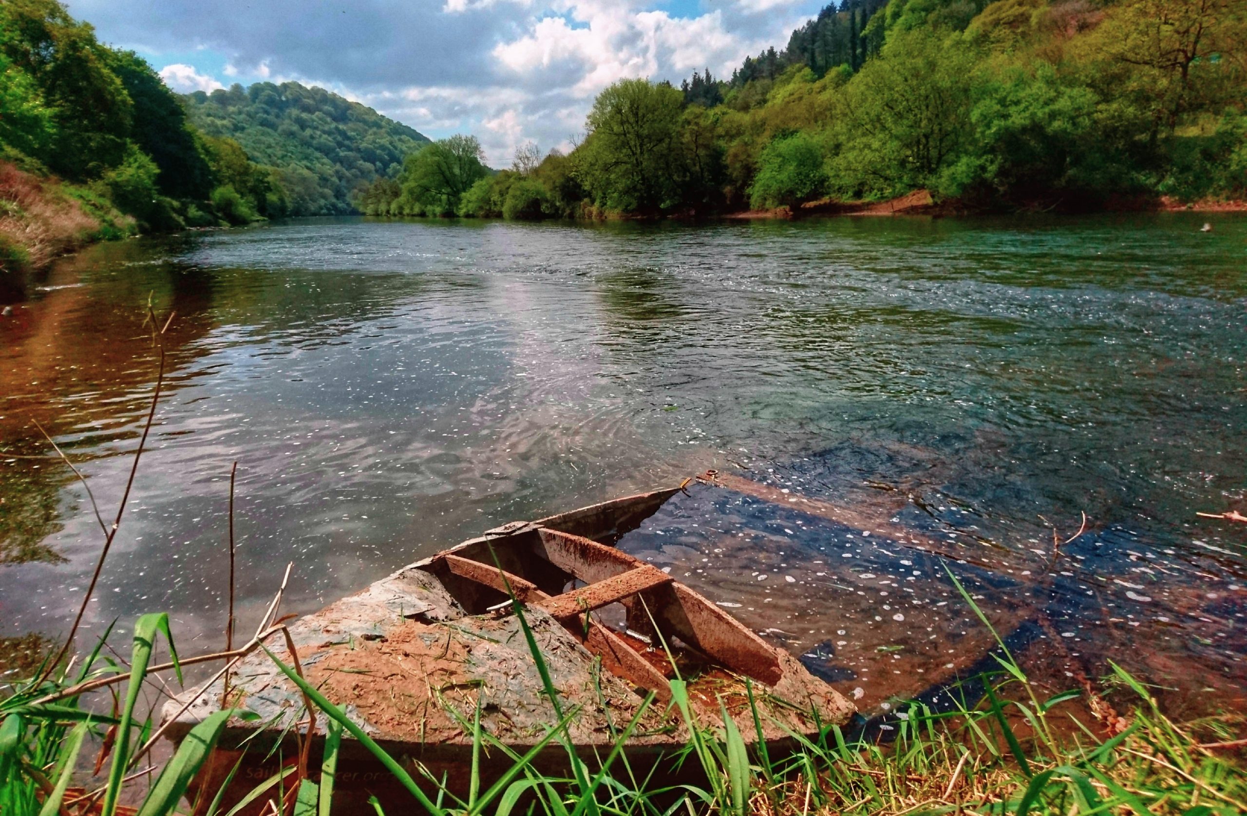
Lower Wye or Dukes Water
Our lower Wye waters run from a few metres downstream from the Wye Bridge on both banks to the junction of the river Trothy.
Here the water tends to be slightly deeper right off the bank, making wading almost impossible. Immediately below the old stone railway viaduct is a large cattle `drink which forms a large eddy when the river is high. Here can be found some good wading and float fishing with fish sheltering in the eddy during spates when most other swims are unfishable.
Whilst most barbel and big chub are caught on a leger using soft pellets as the hook bait, big chub can be ‘selected’ using a large lumps of bread flake. In spring eels will be caught on meaty baits, maggots and worms and their tendency for being difficult to unhook can make then unwelcome to all but the specialist.

We can cross from one side of the Wye to the other using this old railway bridge
Directions and map to Dukes Water
Upper Wye – Hadnock Road
Our fishing on the Wye above Monmouth is on about 1 kilometre of the left bank only. It starts from the downstream limit opposite Malley Brook and goes for about 1 kilometre upstream to a point in the arable field above the Oak Tree field. At this point there is a sign designation the start of Gwent Angling Club water.
The lower section from Malley brook up to the public car parking layby tends is wooded and to be slightly deeper. Above the woods and into the rough grassy areas it tends to be shallower and where access down the steep banks permits, can be found some good wading water and best float fishing swims.
In the summer months the the Wye between Ross on Wye and Monmouth is very popular with canoeists but experience shows that this seldom affect the fish from feeding. Autumn time when the canoes are far fewer usually provides some of the best fishing and good sport can be had right through October and into to November so long as water temperatures hold up.
Banks are for the most part steep and precipitous so an hours reconnoitrer is strongly recommended for any new member who is unfamiliar with the water.

Directions and map to Upper Wye water
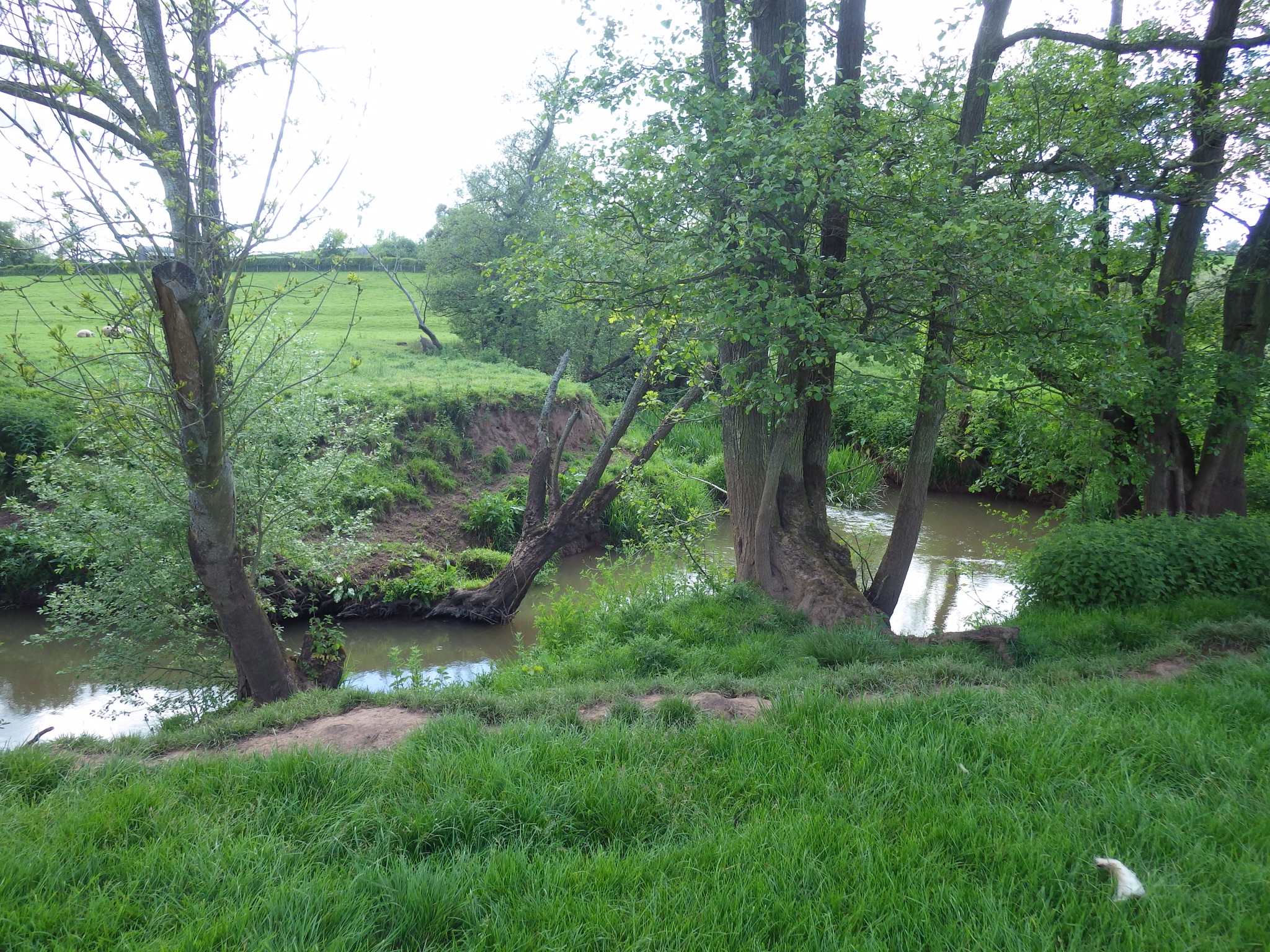
River Monnow
We have about 1.4 km of fishing on the river Monnow. Almost all is on the right bank in the three meadows of Vauxhall field with a very short stretch no the left bank in Monmouth town behind the the bus station.
The Monnow provides a combination of fly fishing and bait for trout and grayling with some coarse fishing on some of the most beautiful and tempting of all our waters. Chub, dace, perch are regularly caught here with the occasional pike.
Please note that we no longer have the fishing on the Pwllholm stretch.
Directions and map to the River Monnow
River Trothy
There is about 5 kilometres of fishing over three stretches on the Trothy. This is primarily a wild brown trout fishery with fly or worm only.
Directions and map to river Trothy
Treowen Lakes
We lease the fishing rights on three tranquil lakes and ponds on the Treowen Estate. There are two other tiny ponds available to us but they are of little significance to the angler.
Although theses lakes may already have been home to a few rudd and roach when we arrived, we stocked them all with carp, tench and bream. Brick Kiln Lake is fished almost exclusively for carp which run to low double figures.
All lakes are particularly suited to the novice angler and almost guarantees success with plenty of smaller fish and even some specimen rudd.

The Lower Lake is primarily fished for tench, rudd and perch.

The large Lake at Treowen
Directions and map for Treowen Lakes
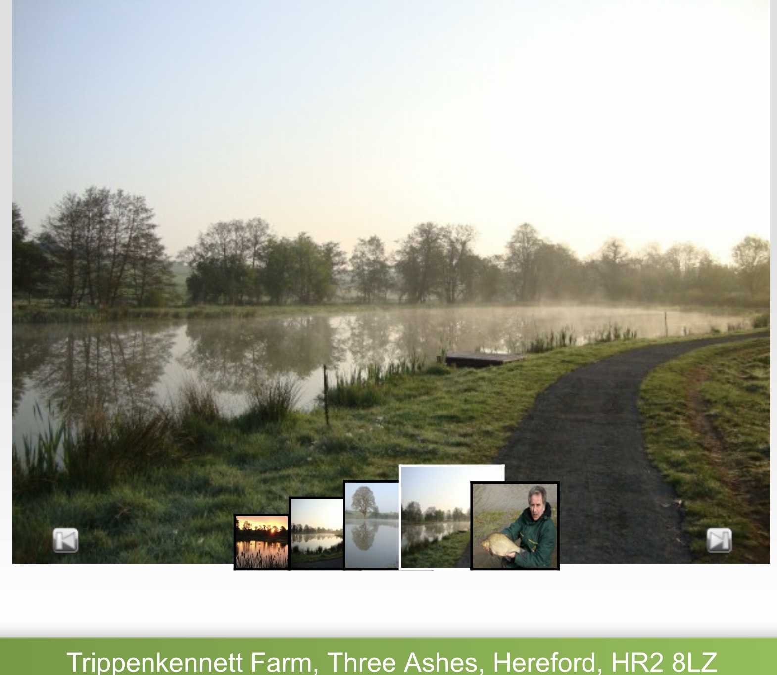
Trippenkennet Lakes
Since 2012 we have leased some fishing on a non-exclusive basis at Trippenkennet Farm. Here we pay on the bank but we are entitled to a discount off the going rate. This is mixed coarse fishery with very easy access for disabled persons.
http://tkfarm.co.ukhttps://monmouthfishing.co.uk/map-trippenkennett-lakesDirections to our Fishing.


You must be logged in to post a comment.